
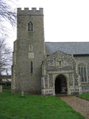
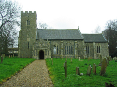
East Tuddenham All Saints
|
|
1813 to 1880 Baptism Project East Tuddenham All Saints |
Baptisms 1813 to 1880
|
The parish of East Tuddenham lies
in the eastern portion of central Norfolk roughly 8 miles east of
the market town of East Dereham and a similar distance west of the
city of Norwich. East Tuddenham sits just over a mile south of the
bust A47 road which crosses the county from west to east from
King's Lynn to Great Yarmouth. East Tuddenham is a small and
fairly compact crossroads village sitting with most properties
lining the broad lane which links the large village of Mattishall
through to the A47. Like most Norfolk parishes East Tuddenham
would have largely earned its income from farming, early
gazetteers place as much as 75% of the parish acreage as set to
arable croppage with cereals, beet and, today, oil seed
predominant. The village name is taken from the small river that
flows from west to east through the north of the parish, namely
the River Tud which meets the Wensum just west of Norwich, this
stream creates a small valley as a welcome break from the rather
level ground on which the village sits. |
 |
 |
|
| Two standard 800-entry register books cover the period of this transcript, the first ending in 1859, the second running onward to the late 20th century. Both registers are filmed on Microfilm MF1676 in the collection of Norfolk Record Office and for those with appropriate subscription digitised imagery is available on most of the main commercial sites. With these assets this was a straightforward piece to prepare. |
Back 1820 1830 1840 1850 1860 1870 1880
Back 1820 1830
1840 1850 1860
1870 1880
Corrections to Tinstaafl
Transcripts