
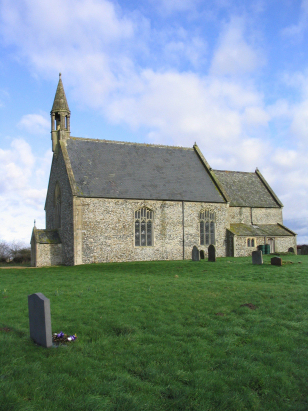
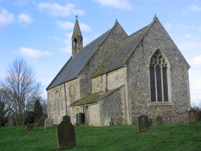
Stow Bedon St Botolph
|
|
1813 to 1880 Baptism Project Stow Bedon St Botolph |
Baptisms 1813 to 1880
|
The parish of Stow Bedon lies in
south central Norolk roughly 7 miles west of the market town of
Attleborough, Stow Bedon sits about 1 mile east of the A1075 road
that links Thetford with Watton. Stow Bedon is a rather dispersed
settlement lying along the shallow valley of a small tributary of
the River Thet with properties scattered along a lane running from
the A1075 to Lower Stow Bedon and the 18th century house of Stow
Bedon Hall. Stow Bedon sits on the edges of Norfolk's Breckland, a
broad area with shallow and gravel rich soils deposited by
retreating glaciers from the last Ice Age. Whilst poor for
agriculture those gravels were exploited for their materials
including for flint production. Stow Bedon Mere, at the northern
end of the parish, is also an example of the local "pingoes",
sunken and often circular ponds formed when blocks of ice melted
slowly under a cover of deposited till. The poor soils were of
little value for arable farming, typical of the county, but of use
for both sheep and the local use of warrenries for supplying
rabbit for the table. |
 |
 |
|
| A single standard 800-entry register book covers not only the period of this transcript but continues to completion in the mid-20th century. This register is filmed on Microfilm MF1696 in the collection of Norfolk Record Office which was used to prepare this transcript. In addition to this resource there are digitised copies of this register available on most of the major commercial sites which help make for a straightforward piece to prepare. At times the clerical standard, evidenced by the frequency of entries in margins, indicates that recording often failed as a result of delays in making up the register. |
Back 1820 1830 1840 1850 1860 1870 1880
Back 1820 1830
1840 1850 1860
1870 1880
Corrections to Tinstaafl
Transcripts