
Stockton St Michael
|
|
1813 to 1880 Baptism Project Stockton St Michael |
Baptisms 1813 to 1880
|
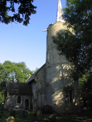
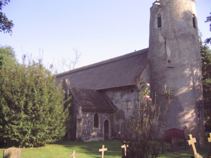
The parish of Stockton lies in the
southeast of Norfolk close to the border with neighbouring Suffolk
and just 3 miles northwest of the Suffolk market town of Beccles.
Stockton sits just west of the A146 road which connects Beccles
with the city of Norwich. There is very little to Stockton, a
closed parish with most land held by a single landholder which
limited inbound migration and resulted in no defined village, just
a stretch of properties along a dead-end lane leading to the
church. Stockton sits on a plateu of land above the valley of the
nearby River Waveney, a fertile area of light soils which are
exploited for the growing of arable crops, mainly cereals with
beet and oil-seed common too. Stockton parish was a relative small
rural parish in a county of small parishes, it covered less than
1,000 acres and its residents would have numbered barely above
100. |
 |
 |
|
| A single standard 800-entry register book covers the period of this transcript running onwards to completion at the end of the 20th century. This register is filmed on Microfilm MF1626 in the collection of Norfolk Record Office which was used to prepare this transcript. Whilst the images are adequate to the task the clerical standards are low, the strange numbering being created by beginning many new years on new pages has resulted in one or two out-of-sequence entries being accidentally placed in the spaces omitted causing confusion. Otherwise this was a straightforward piece to prepare. |
Back 1820 1830 1840 1850 1860 1870 1880
Back 1820 1830
1840 1850 1860
1870 1880
Corrections to Tinstaafl
Transcripts