
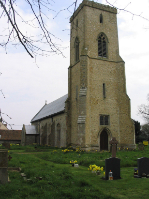
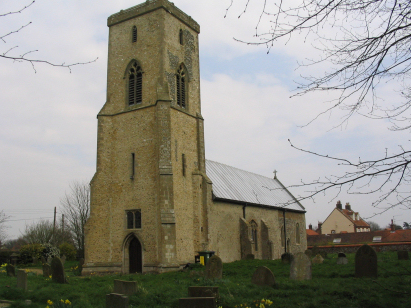
Sharrington All Saints
|
|
1813 to 1880 Baptism Project Sharrington All Saints |
Baptisms 1813 to 1880
|
The parish of Sharrington lies in
northern Norfolk about 3 miles west of the small market town of
Holt. Sharrington is a small and fairly scattered settlement, with
no clearly defined village centre, which sits immediately south of
the A148 road which connects Holt with Fakenham. A network of
narrow lanes extending in an arc around Sharrington Hall (a 16th
century Elizabeth-plan house) forms the basic structure of the
village and on which sits mostly a scatter of farms and cottages.
Like most Norfolk parishes Sharrington would have been primarily
involved in arable farming and early gazetteers indicate over 90%
of the parish acreage would have been set to crops of mainly
cereals. Sharrington stands on a plateau of ground at or close to
50 metres above sea level with broad fields under vast skies, a
typical Norfolk landscape for some. |
 |
 |
|
| A single standard 800-entry register book covers the period of this transcript and runs onward to completion in 1926. This register is filmed on Microfiche 3 & 4 in the collection of Norfolk Record Office. Since these fiche, and most others of this period, are rather elderly and inadequate it is very helpful that digitised images, free to view on Familysearch and for those with a subscription on the main commercial sites, are available to make for a straightforward piece to complete. |
Back 1820 1830 1840 1850 1860 1870 1880
Back 1820 1830
1840 1850 1860
1870 1880
Corrections to Tinstaafl
Transcripts