
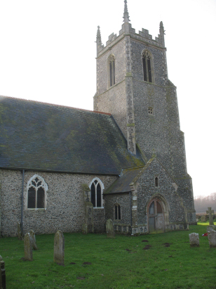
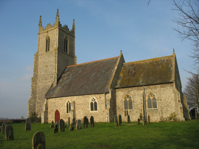
Runham St Peter & St Paul
| |
1813 to 1880 Baptism Project Runham St Peter & St Paul |
Baptisms 1813 to 1880
|
The parish of Runham lies in eastern Norfolk about 6 miles
west of the port & seaside resort of Great Yarmouth. Runham sits on
a peninsula of lane, part of the ancient island of Flegg, which penetrates
between the two course of the Muck Fleet & the Bure. A marsh-edge
community with almost two thirds of its land grazing marsh and reed-bed
the parish would have enjoyed not only arable farming on higher ground
but also the benefits of thatch growing, wildfowling and other marshland
activities to supplement the pastoral base. Runham sits barely a couple
of metres higher than the neighbouring marshland but sufficient to keep
it reasonably dry, to its south the reclaimed area of Breydon Marshes
stretches unbroken to the Norfolk/Suffolk borders and beyond. Much of
Runham is dispersed along nearly a mile of marsh edge reflecting the interests
of the early dwellers in both marsh and drier land. |
 |
 |
|
| A single standard 800-entry register book covers the period of this transcript and runs on to completion in 1895. This register is filmed on Microfiche 4 & 5 in the collection of Norfolk Record Office. Sadly these fiche are rather elderly and of poor quality, however, better quality imagery exists, freely on Familysearch and for those with subscriptions on the major commercial sites, making a much easier job of the transcript. As a result this was a straightforward piece to prepare. |
Back 1820 1830 1840 1850 1860 1870 1880
Back 1820 1830 1840 1850 1860 1870 1880
Corrections to Tinstaafl Transcripts