
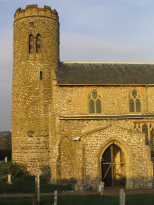
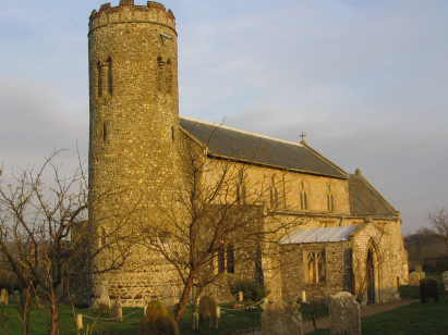
Roughton St Mary
| |
1813 to 1880 Baptism Project Roughton St Mary |
Baptisms 1813 to 1880
|
The parish of Roughton lies in northeastern Norfolk about
4 miles south of the seaside resort of Cromer. Roughton stands at the
junction of the A140 road (Norwich to Cromer) with the B1436 (which heads
northwestwards towards Sheringham). Roughton is largely built along these
two roads with infill from short dead-end lanes running off. The area
is quite undulating for Norfolk as it sits towards the eastern end of
the glacial feature of the Cromer/Holt Ridge, a large deposit from the
most recent Ice Age. The soils formed upon that ridge are stony and of
poor quality and a large area of the parish to its northeast was the heathland
of Roughton Heath. Otherwise the settlement would have earned its living
through arable agriculture. |
 |
 |
|
| Two standard 800-entry register books cover the period of this transcript, although the second is only just begun in 1880. Both register are filmed on Microfilm MF589 in the collection of the Norfolk Record Office which were used to prepare this transcript. On-line images on Familysearch were also consulted for some entries which were less clear. The combination of sources will, hopefully, mean that few errors will have been committed other than inadvertent typographical errors. |
Back 1820 1830 1840 1850 1860 1870 1880
Back 1820 1830 1840 1850 1860 1870 1880
Corrections to Tinstaafl Transcripts