
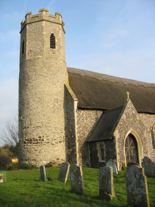
Mautby St Peter & St Paul
|
|
1813 to 1880 Baptism Project Mautby St Peter & St Paul |
Baptisms 1813 to 1880
|
The parish of Mautby lies in the
extreme east of Norfolk separated from its eastern North Sea coast
only by the parish of Caister. Mautby is situated approximately 5
miles northwest of the resort & port of Great Yarmouth and
lies about a mile south of the A1064 road which links Caister with
Acle. Mautby has always been a relatively lightly populated
parish, early gazetteers place the population as barely more than
50 folk, today there is little changed, no defined village just a
scattered collection of farms and cottages running down from the
A1064 to the grazing marshes bordering the River Bure. Whilst
Mautby was a fairly typically sized parish of 1,600 acres over 30%
was described as marshland, the haunt of reed-thatch harvesters,
wildfowlers and eel-men. Almost all of the parish lies barely
above sea level with only the area around the church creeping over
the 5 metre contour, today the parish is a mixture of typical
Norfolk arable farmland together with those grazing marshes by the
Bure. |
 |
 |
|
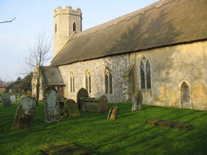
| A single standard 800-entry register book covers not only the period of this transcript but runs onward only to be deposited in the earl 21st century. This register is filmed on Microfilm MF1655 in the collection of Norfolk Record Office which was used to prepare this transcript. In recent times, for those with appropriate subscriptions, digitised images of this register have been made available on the main commercial sites. As a consequence this short transcript was a straightforward piece to prepare. |
Back 1820 1830 1840 1850 1860 1870 1880
Back 1820 1830
1840 1850 1860
1870 1880
Corrections to Tinstaafl
Transcripts