
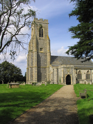
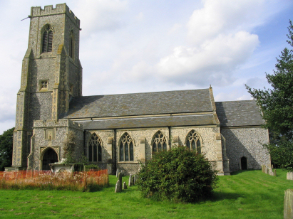
Hickling St Mary
|
|
1813 to 1880 Baptism Project Hickling St Mary |
Baptisms 1813 to 1880
|
The parish of Hickling lies in eastern
Norfolk not too far from its eastern North Sea coast and sitting
roughly 3 miles southeast of the small market town of Stalham and
a couple of miles east of the A149 road which connects Stalham
with the port of Great Yarmouth. Hickling consists of three
distinct areas each separate but almost contiguous, from south to
north there are Hickling Heath, Hickling Green and, finally,
Hickling itself. Curiously Hickling is the smallest of the three.
Hickling is a Broadland settlement dominated by water, early
gazetteers estimate that almost a half of the parish acreage is
marsh, most within the extensive waters of Hickling Broad. Whilst
the drier land would have been set to arable fields, the marshes
would have been extensively grazed as well as being exploited for
reed-thatch & wildfowl and the Broad and nearby Thurne used
for the transportation of arable produce and the products of the
inevitable weavers. Today wildlife reserves abound in the vicinity
with the Stubb Mill facility renowned for its cranes and harriers.
|
 |
 |
|
| Three standard 800-entry books cover the period of this transcript, the third runs onward to completion in 1900. All three books are filmed on Microfilm MF590 in the collection of Norfolk Record Office. In addition to this legacy resource digitised imagery is available, free to view on Familysearch and for those with a subscription on all of the major commercial sites. This plethora of resources makes for a straightforward piece to prepare. |
Back 1820 1830 1840 1850 1860 1870 1880
Back 1820 1830
1840 1850 1860
1870 1880
Corrections to Tinstaafl
Transcripts