
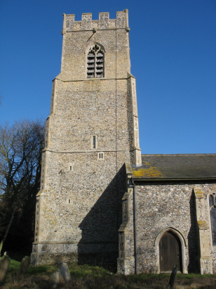
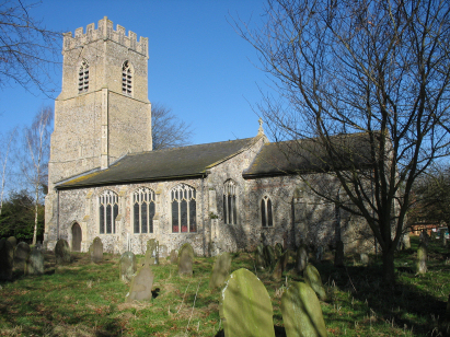
Garvestone St Margaret
| |
1813 to 1880 Baptism Project Garvestone St Margaret |
Baptisms 1813 to 1880
|
The parish of Garvestone lies in central Norfolk about
5 miles south of the market town of East Dereham. Garvestone is a long
straggly village with most properties sitting either side of the B1135
road which connects East Dereham with Wymondham. The area is (and was)
an intensively arable agricultural one and Garvestone would have been
dominated by the growing of cereals, beet and more recently oil seed.
The area experienced some growth during Victorian times as the Mid-Norfolk
railway passed through the parish but this has been downgraded to a freight
& heritage line only. Garvestone sits on a slight ridge above two
shallow valleys which collectively form the headwaters of the River Yare,
one of Norfolk's main rivers flowing through the city of Norwich to the
North Sea at Great Yarmouth. The landscape is rather flat, it is some
miles heading westwards before one reaches a map contour line. |
 |
 |
|
| Two standard 800-entry register books cover the period of this transcript, the first running to 1875 whilst second runs onward to completion in the early 21st century. The first register is filmed on microfiche, the quality is , as usual, rather poor but thankfully images are available on both Familysearch and the commercial sites which are superior. The second register, a very recent deposit, is filmed on Microfilm MFRO693 which as used to complete the coverage, this film is of excellent quality making for a straightforward task. |
Back 1820 1830 1840 1850 1860 1870 1880
Back 1820 1830 1840 1850 1860 1870 1880
Corrections to Tinstaafl Transcripts