
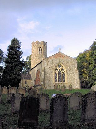
Fritton St Catherine
|
|
1813 to 1880 Baptism Project Fritton St Catherine |
Baptisms 1813 to 1880
|
The parish of Fritton lies in southern
Norfolk roughly 8 miles northwest of the Suffolk market town of
Bungay. Fritton sits a little over 2 miles east of the A140 road
which connects the city of Norwich with Ipswich and is immediately
east of the growing village of Long Stratton. Fritton is a bit of
a strip village, a congregation of properties sits at the northern
edge of its common, gathered around the 17th century Hall, with
more stretching along the lane (The Street) to the north towards
the church and Hempnall. The area is prime arable farming country,
rich and fertile and largely level at 50 metres above the sea.
Fritton parish was a small one in an area dominated by tiny,
close-packed parishes, it covered only 900 acres of which 3/4
would have been set to cereals, a shallow valley containing a
tributary of the Tas would have provided some pasture to vary the
regime slightly. |
 |
 |
|
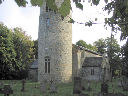
| A single standard 800-entry register book covers not only the period of this transcript but runs onward to completion in the mid-20th century. This register is filmed on Microfiche 6 & 7 in the collection of Norfolk Record Office, sadly the fiche are rather elderly but fortunately digitised imagery is available for this parish, free to view on Familysearch and for those with a subscription on all of the major commercial sites. Thanks to these images this became a more straightforward piece to prepare. |
Back 1820 1830 1840 1850 1860 1870 1880
Back 1820 1830
1840 1850 1860
1870 1880
Corrections to Tinstaafl
Transcripts