
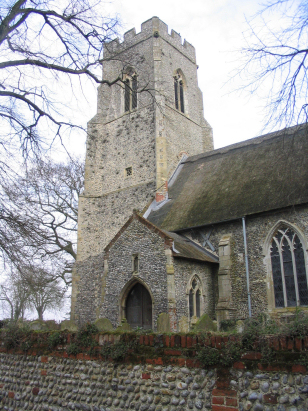
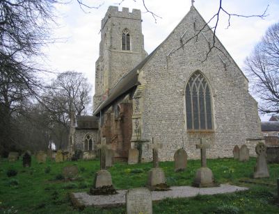
Brunstead St Peter
|
|
1813 to 1880 Baptism Project Brunstead St Peter |
Baptisms 1813 to 1880
|
The tiny parish of Brunstead lies in northeastern
Norfolk about a mile north of the large village of Stalham.
There is not much to Brunstead (also rendered Brumstead in some
documents) other than the hall which is set back from the B1159
road (Stalham to Walcott road) which passes from north to south
through the parish. Most housing is in the form of scattered
cottages and farms along this road and the half-circular lane
which runs to the west of it across Brunstead Common. Brunstead
is little more than 3 miles from Norfolk's North Sea coast, a
coast that is rapidly eroding and getting closer by the decade.
The area around Brunstead is dominated by agricultural land, as
it would have been at the time of this transcript. Arable
agriculture, together with a little wildfowling in the valley of
the River Ant to the west, would have occupied most of the
parishioners. |
 |
 |
|
| This transcript was originally prepared using BTs but following the deposit of the relevant baptismal register it has now been re-prepared correcting misreads, differences between the two record sets and the missing additional records added. The transcript was prepared directly from the original un-filmed register held at Norfolk Record Office. |
Back 1820 1830 1840 1850 1860 1870 1880
Back 1820 1830 1840 1850 1860 1870 1880
Corrections to Tinstaafl Transcripts