
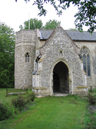
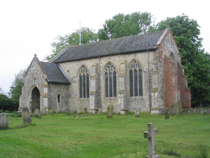
Brandiston St Nicholas
| |
1813 to 1880 Baptism Project Brandiston St Nicholas |
Baptisms 1813 to 1880
|
The parish of Brandiston lies in East central Norfolk
about 3 miles east of the small market town of Reepham. There is very
little to modern day Brandiston, a scatter of farms and cottages across
the lanes between Reepham and the B1110 road carrying traffic from Norwich
to Holt. Brandiston was almost certainly a closed parish with most land
held by a single landowner and inbound migration thus discouraged leading
to no defined village developing. This status is enhanced by the parish
church being tucked away almost in Haveringland and cheek-by-jowl with
the Hall. A typical Norfolk arable farming community with almost 80% of
the acreage set to cereal farming, little has changed and large open cereal
fields still dominate the rather flat & featureless landscape, Brandiston
sits at close to 40 metres above the sea and it is not till one comes
to the Wensum valley to the south that any contours appear to dispute
that height. |
 |
 |
|
| A single standard 800-entry register book covers not only the period of this transcript but continues onward to completion in the mid-20th century. This register is filmed on Microfiche 2 & 3 in the collection of Norfolk Record Office. However, better quality imagery is available online, freely to view on Familysearch and also for a subscription on the major commercial sites, and this imagery was used to prepare this transcript making for a straightforward piece to prepare. |
Back 1820 1830 1840 1850 1860 1870 1880
Back 1820 1830 1840 1850 1860 1870 1880
Corrections to Tinstaafl Transcripts