
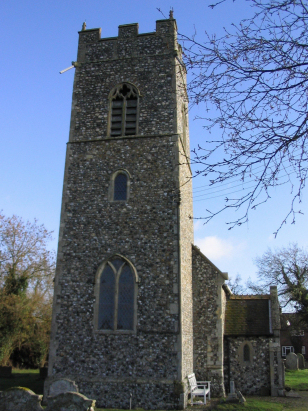
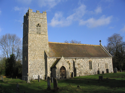
Arminghall St Mary
|
|
1813 to 1880 Baptism Project Arminghall St Mary |
Baptisms 1813 to 1880
|
The parish of Arminghall lies in
southern Norfolk roughly 3 miles southeast of the city of Norwich.
Arminghall is a small place set into a side lane just west of the
B1332 which connects Norwich with the Suffolk market town of
Bungay. Most of Arminghall consists of a row of properties lining
the lane which sits a mile north of the greatly expanded village
of Poringland. It has ever been a small place with the parish
covering just 650 acres and historically has supported fewer than
100 parishioners. Today Norwich is creeping over the horizon
toward the hamlet, the fast dual-carriageway separating the two
appears to create a discernible barrier to that expansion but it
merely delays rather than suppresses demand for the ever-expanding
city. Arminghall, a peaceful arable farming hamlet, seems set to
become a mere suburb within the next half century. Today walkers
can explore its fields and hedgerows on the newly created
Boudicca's Way which commemorates the Iceni tribes which once
caused a bit of bother for the Romans who had their fort at Venta
Icenorum at nearby Caistor St Edmund. |
 |
 |
|
| A single standard 800-entry register book covers not only the period of this transcript but was deposited in complete in 2007. Thia register is filmed on Microfilm MFRO/717 in the collection of Norfolk Record Office which was used to prepare this transcript. A modern filming the image quality being of the high standard achieved in recent films is perfectly adequate to the task, For those with appropriate subscriptions high quality digital images are available on most of the commercial web sites too making for a straightforward piece to prepare. |
Back 1820 1830 1840 1850 1860 1870 1880
Back 1820 1830
1840 1850 1860
1870 1880
Corrections to Tinstaafl
Transcripts