
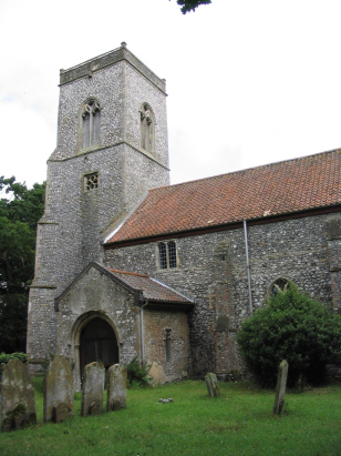
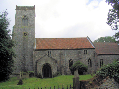
Alby St Ethelbert
|
|
1813 to 1880 Baptism Project Alby St Ethelbert |
Baptisms 1813 to 1880
|
The parish of Alby lies in northeastern Norfolk
roughly 4 miles north of the market town of Aylsham. Alby is one
of a confusing set of small parishes lying immediately west of
the A140 road which links the city of Norwich with the coastal
resort of Cromer. There are a number of small parishes clustered
closely together, the result so confusing that the eminent
Phillimore has accidentally omitted Alby from their mapping
atlas. There is no defined village of Alby, as such, the closest
to that being the stretch of properties lining the eastern banks
of the Scarrow Beck, named as Alby Hill on modern Ordnance
Survey maps, this settlement is, however, closer to Thwaite by
Alby's church. Alby Craft Centre lines the A140, itself, but it
too is closer to Erpingham, all is a little confusing for a
non-local. Regardless of the complicated local geography Alby
parish is a typical Norfolk arable parish occupying gently
undulating countryside to the south of the glacially-deposited
ridge that sits a little further north. Early gazetteers
estimate close to 75% of the parish acreage as set to arable and
today little has changed, the broad fields of cereals, beet
& oil-seed only broken by the pastures along the Scarrow
Beck valley. |
 |
 |
|
| A single standard 800-entry register book
covers the period of this transcript and runs onwards to
completion in 1901. This register is filmed on Microfilm MFRO380
in the collection of Norfolk Record Office which was used to
prepare this transcript. In addition to this legacy film,
digitised imagery has recently become available on most of the
commercial sites for those with appropriate subscriptions. This
wealth of resources leads to a straightforward piece to prepare. |
Back 1820 1830 1840 1850 1860 1870 1880
Back 1820 1830
1840 1850 1860
1870 1880
Corrections to Tinstaafl
Transcripts